The demand for surveying services and the utilization of aerial images, satellite images, and spatial data across multiple industries is rapidly growing. At ArcaSIMAP, we are at the forefront of this dynamic field, striving to address the distinct requirements of each sector with utmost professionalism and specialization. Our team comprises experts from diverse backgrounds, including oil and gas, mining, civil engineering, and legal domains, enabling us to provide comprehensive solutions tailored to the specific needs of our clients.
Our Market
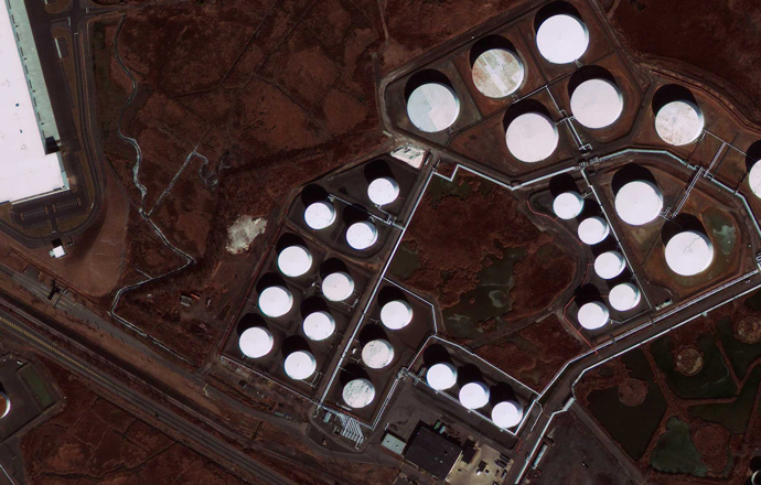
Surveying engineering consulting, Regular scanning of facilities by tasking satellite imagery, measurement of subsidence and displacements of the earth, provision of archival satellite images in legal claims are some of our services in this industry.
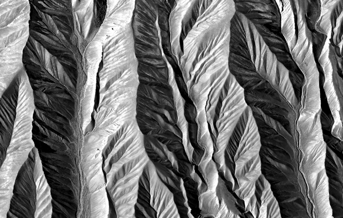
Surveying engineering consulting, subsidence and displacements measurement, change detection and volume calculations, Regular scanning of mining area by tasking satellites, citing archival satellite images in legal claims are some of our services in this industry.
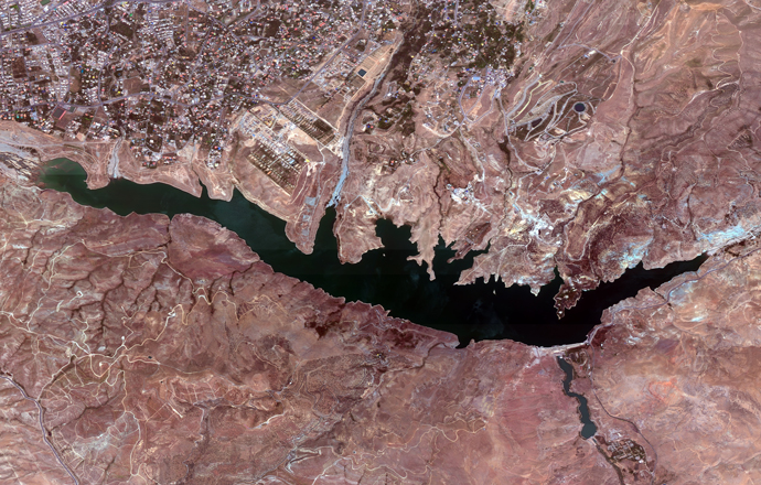
Site selection for dams, geodetic and monitoring surveys surveying of pillars, boreholes and ashlar, dam reservoir volume calculations, subsidence calculations, corridor mapping, generation of ortho mosoaic and 3D model, cutting and filling volume calculations, remote project control is some of our services in this industry.
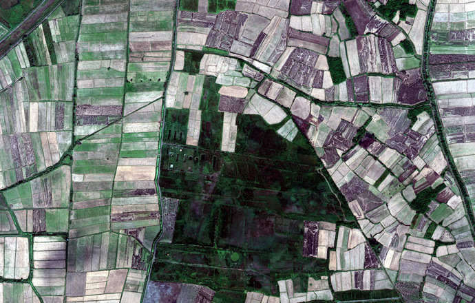
Surveying engineering consulting, remote sensing, exploitation of archival satellite images for legal claims, and intermittent scanning of agricultural lands through tasking satellite imagery are some of our services in this industry.
Establishing and surveying a benchmarks network, cadastral surveying, photogrammetry of aerial images, and land use mapping and changes monitories are among our services in this industry.
Providing legal evidence for property registration claims and obtaining aerial maps of national lands through the acquisition of satellite images from all available sensors worldwide are among our services in this industry.

